What are our streams like?
In the Introduction to the Story of Streams, we show the connections between the region’s streams, the Chesapeake Bay, and the communities around them. For this pilot report, we selected three streams that encircle the DC region. All require safe water quality to support fish and other animal life, as well as safe human contact. They are essential recreational havens for the 6.4 million people that make up the DC metropolitan area. Their parks & valleys serve as wildlife corridors for fish, birds, mammals, and even insects moving between the Potomac and Anacostia Rivers and our marshes and forests.
To ultimately make these bigger rivers fishable and swimmable, we need to understand the health of their tributaries and what individuals and communities can do to help.
How healthy are they?
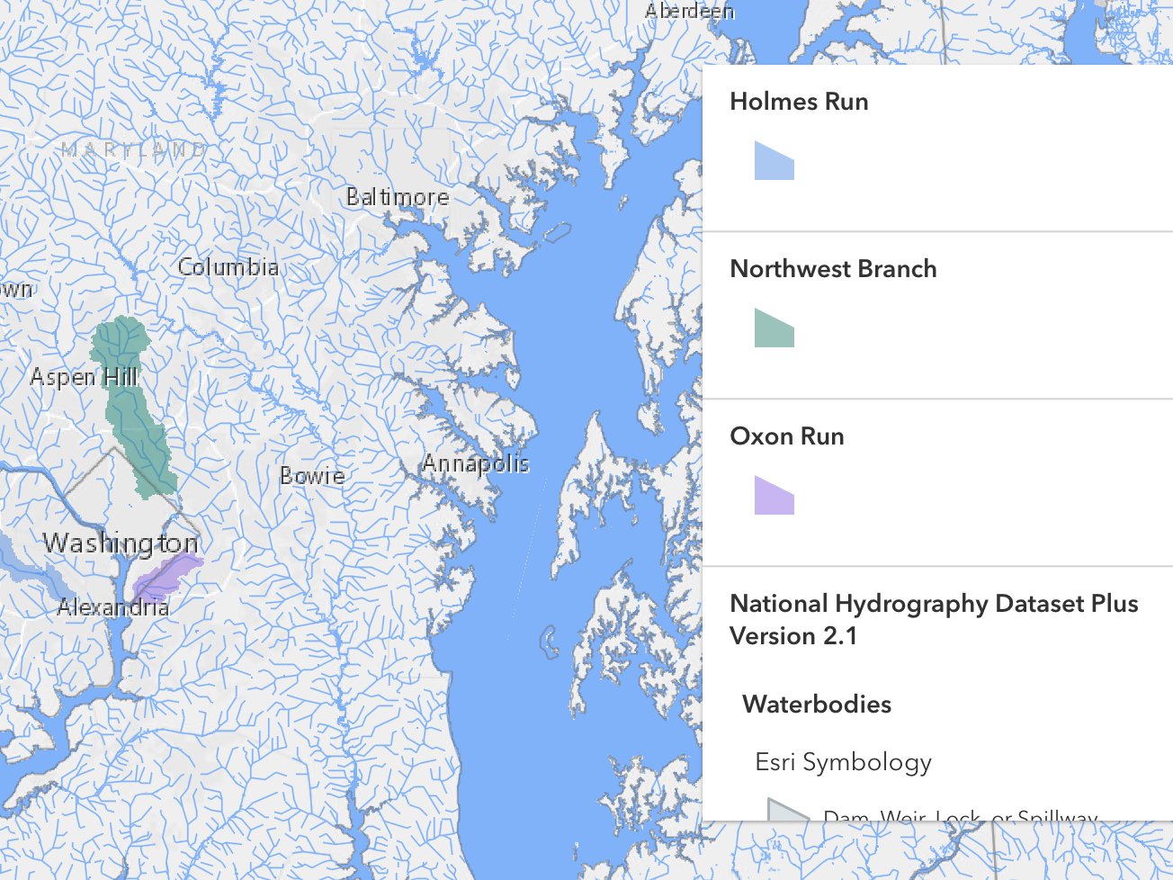
Overall, our streams are in fair-moderate health. See how they score in the table below. Scroll down to learn more about each stream.
What do they need to improve?
Our analysis shows that our streams and their human and wildlife communities need three main things to get healthier:
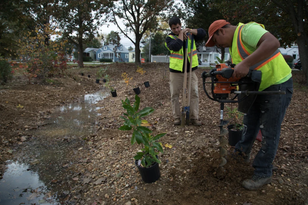
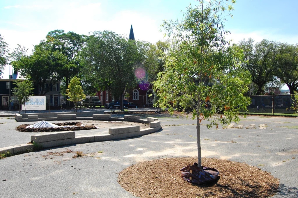
More trees & wetlands
Cleaner air
Less pavement
The DC region is lucky to have so many volunteer-powered watershed and community groups that fight for the health of our local streams, forests, and parks.
Join them on our Take Action page!

Volunteer

Raise Your Voice!

Check Your Stream’s Health

Help at Home

Donate
Holmes Run


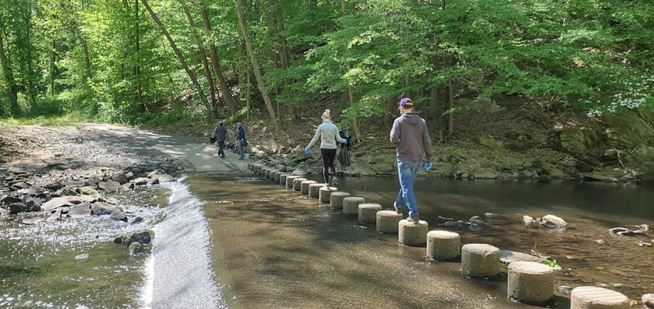
Stepping stones over Holmes Run. Photo courtesy Friends of Holmes Run.
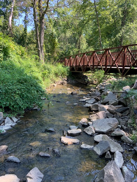
Foot bridge over Holmes Run. Photo courtesy Friends of Holmes Run.
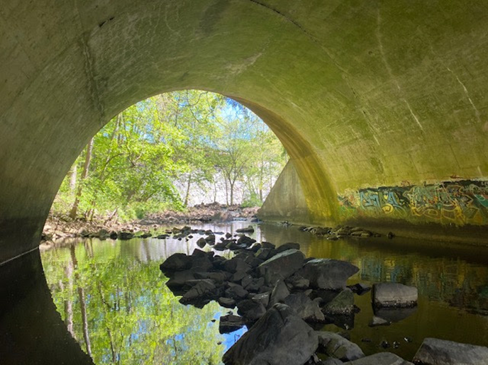
Holmes Run, Columbia Pike culvert below Barcroft Dam. Photo courtesy Friends of Holmes Run.
Holmes Run, stormwater runoff damage. Photo courtesy Friends of Holmes Run.
Holmes Run channel showing sediment deposition. Photo courtesy Friends of Holmes Run.

Holmes Run in Luria Park, Falls Church. Yellow-crowned Night Heron. Photo by Ken Sims.
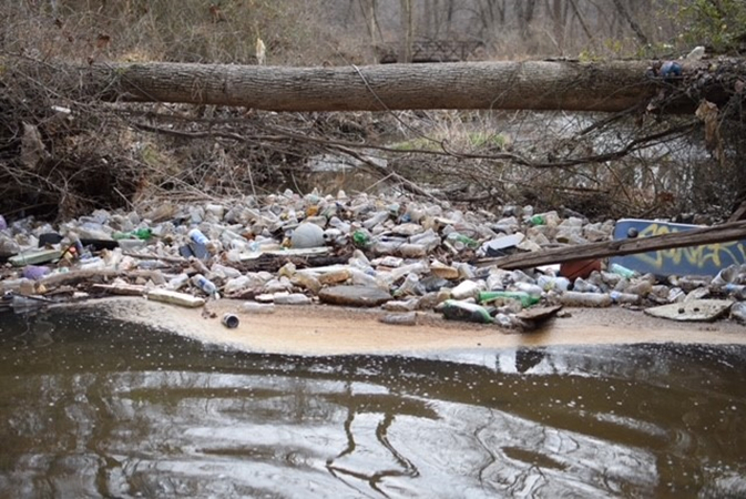
Upper Holmes Run, Falls Church. Stream litter from stormwater runoff. Photo by Ken Sims.

Holmes Run, Lake Barcroft. Photo by J. Larry Golfer.
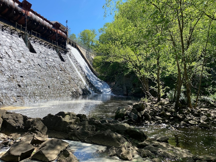
Holmes Run, Barcroft Dam. Photo courtesy Friends of Holmes Run.
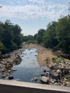
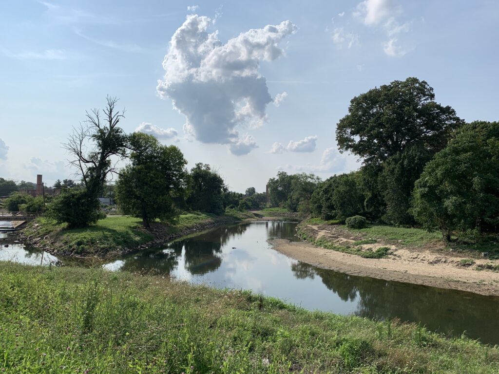
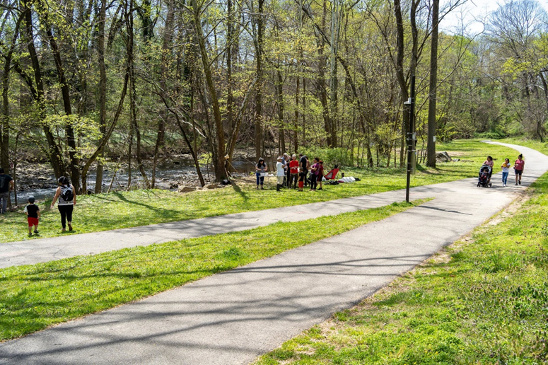
The Holmes Run watershed is 28 square miles. It drains a developed suburban area of Fairfax County. Located almost entirely within the Beltway, this primary headwaters tributary of Cameron Run flows into the Potomac River just south of Alexandria, VA. It has numerous access points with both paved and natural surface hiking trails, as well as the Barcroft Dam and Lake Barcroft, which is privately owned and managed for recreational use. Holmes Run receives drainage from major highways, but has substantial parkland and relatively low-density suburban homes.
Holmes Run has the best score for impervious surface of the watersheds in this study (87.8), meaning that there’s comparatively less stormwater runoff from paved surfaces. It also has the highest score (68.5) for tree canopy over the entire watershed, but the worst score for stream buffer (37.0), because it is the least protected by trees right along its banks. Intense storms have led to erosion and infrastructure damage.
Holmes Run scored high on Access indicators, demonstrating its value to the many people who live near and recreate along the stream. Holmes Run is in urgent need of better forest buffer and wetlands protections. Like the other streams, the quality of in-stream habitat (as measured by fish blockages and Physical Habitat Index) was moderate. Invasive plants are a significant presence, but birds make great use of the riparian corridor.
Learn more about Holmes Run from the Friends of Holmes Run and from Fairfax County .
The most recent watershed management plan is for Cameron Run, from 2007 [ 43MB PDF ].
Northwest Branch of the Anacostia
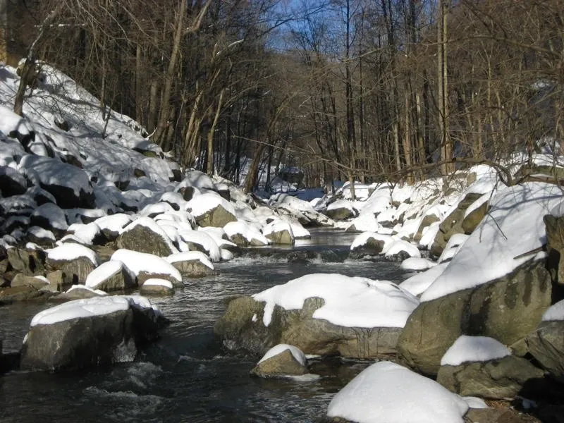
Winter at the fall line, Northwest Branch. Photo credit Neighbors of the Northwest Branch.
The NW branch of the Anacostia River, in Hyattsville, MD, on a warm summer day. Photo by Mr T in MD.
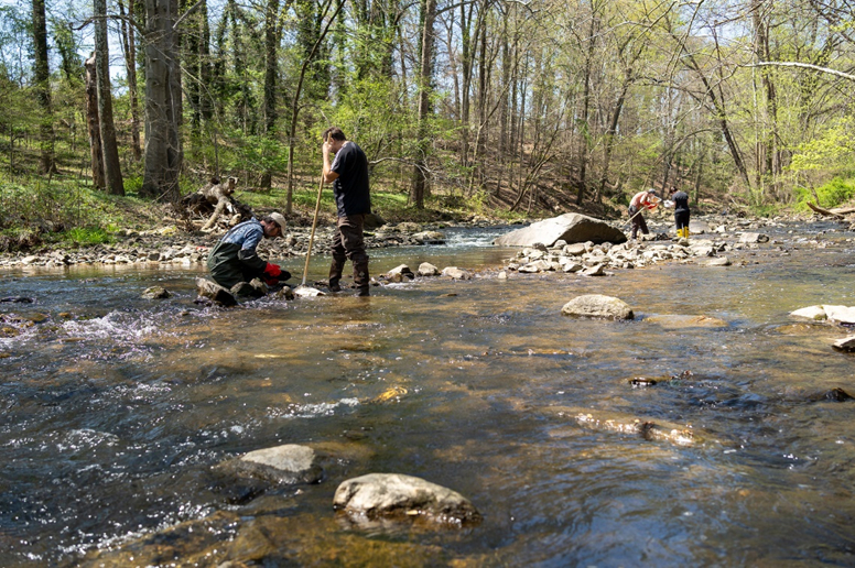
Northwest Branch, Adelphi Mill Park. Stream monitoring. Photo by Ben Israel.

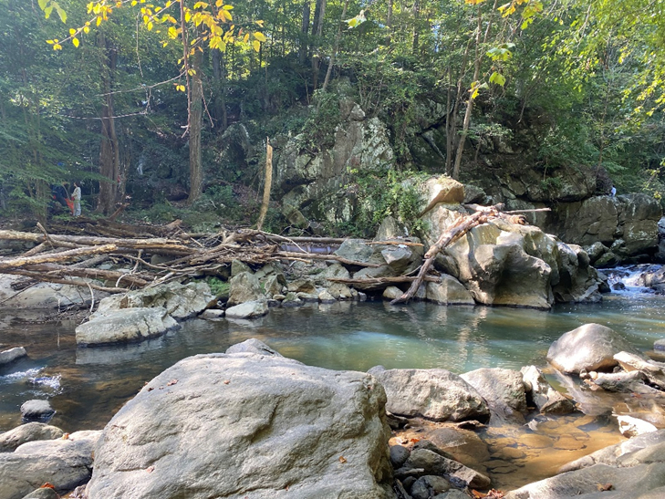
Northwest Branch, stream valley rock faces. Photo by Eliza Cava.
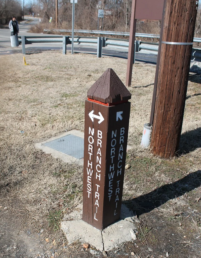
Northwest Branch Trail and Anacostia Tributary Trail System on Queens Chapel Road at Jamestown Road in Hyattsville, Maryland on Saturday afternoon, 22 February 2014 by Elvert Barnes Photography
Summer at the fall line, Northwest Branch. Photo by Eliza Cava.
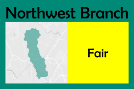
The Northwest Branch of the Anacostia River drains 52 square miles of suburban Montgomery and Prince George’s Counties in Maryland, and joins the Northeast Branch at Bladensburg, MD, to form the Anacostia River. While parts of its upper watershed in Montgomery County are quite rural, overall, the watershed is 27% impervious (giving it a score of 76.9 in our report) as it meanders through a highly paved area.
Our analysis found the Northwest Branch’s overall score to be almost the same as for Holmes Run. It is a larger watershed with similarly excellent public Access (score of 94.1), with higher scores for Biodiversity & Habitat (74.3) led by the best scores for Invasive Herbaceous Plants (89.4) across our watersheds, as well as an excellent score for Birds (100.0). Compared to Holmes Run it scored somewhat lower for Water Quality (65.8) due to a low score for Benthic macroinvertebrates (25.9), likely driven by the relatively high amount of impervious surface. The Climate score (40.4) is dragged down by the lowest Air Quality score (26.3).
Northwest Branch would benefit greatly from protecting and restoring wetlands, reducing pavement, and cleaning up our air by getting people out of cars and limiting sprawl development into its upper watershed.
As part of one of our nation’s most well-studied urban river networks, there are many reports and studies available on the Northwest Branch:
- 1997 Montgomery County Watershed Study
- 2012 Watershed Implementation Plan
- Anacostia Watershed Restoration Planning by the Army Corps of Engineers
- Anacostia Watershed Restoration Partnership
Learn more about the Northwest Branch from Neighbors of Northwest Branch.
Take a tour of the beautiful Northwest Branch in the Story Map below by author & photographer Krista Schlyer
The story map above is a digital version of a small part of Krista’s award-winning book, River of Redemption: Almanac of Life on the Anacostia. Embedded with permission by the author.
Oxon Run

Oxon Run, the smallest of our watersheds at only 14.5 square miles, and the most impervious at 35% paved, drains a small portion of Prince George’s County, MD, and Wards 7 and 8 in Washington, DC. These neighborhoods are commonly described in relation to the Anacostia River, but in fact Oxon Run reaches the Potomac directly at Oxon Cove.
A channelized stream winding through Washington, DC’s biggest local park, Oxon Run is scheduled for a major stream restoration in the future. Learn more at the District Department of Energy and Environment website.
Oxon Run scored the lowest in our analysis with the lowest scores for Conserved Properties (48.3) and Developed Recreation (67.3), but its Tree Equity Score (94.2) kept the overall Access score (71.6) higher. Both conserved properties and very valuable recreational amenities are concentrated in DC’s Ward 8, Oxon Run Park, and nearby National Park Service land. Its position along the Potomac River and connectivity to Oxon Cove gave the stream a high score for Birds (95.6), lifting its Biodiversity & Habitat score (66.3) despite low scores for Physical Habitat Index (42.3) and Stream Blockages/Fish Passage (49.3). Relatively few fish (29.2) and benthic macroinvertebrates (35.8) can live in Oxon Run because of habitat damage.
Learn more about Oxon Run from the Friends of Oxon Run, as well as the District of Columbia’s 2010 Watershed Implementation Plan [PDF].
Check out the video “What’s Up with Oxon Run,” produced by NF in partnership with The Green Scheme for our Ward 8 Water Watchers project!